
Ngl.wmbarbmap
Draws wind barbs over maps at specified locations.
Prototype
Ngl.wmbarbmap(wks, lat, lon, u, v)
Arguments
wksThe identifier returned from calling Ngl.open_wks.
lat, lonScalars, one-dimensional NumPy arrays or Python lists specifying latitude and longitude coordinate values (in degrees).
u, vScalars, one-dimensional NumPy arrays or Python lists specifying the zonal and meridional "x" and "y" wind components at the associated lat,lon coordinates.
Return value
NoneDescription
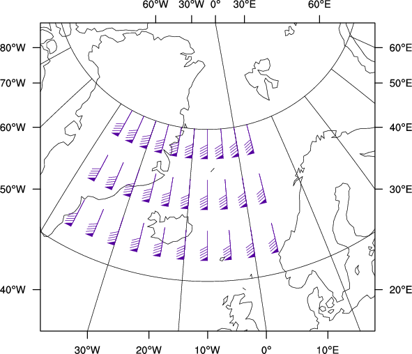
This procedure is primarily to be used for drawing wind barbs that are defined on non-gridded data; if you are drawing wind barbs over a map that are defined on gridded data, then you could use an Ngl.vector plot with with vcGlyphStyle set to "WindBarb".
Wind barbs will be drawn at the specified locations using the current map transformation (i.e. on the most recently created map). The directions of the wind barbs will be adjusted to point in the correct direction on the map. For example, a barb indicating wind from the north will point to the north pole.
The procedure Ngl.wmsetp is used to set parameter values, and the function Ngl.wmgetp is used to retrieve parameter values. The parameters applicable to Ngl.wmbarb are: COL, EZF, WBF, WDF, WBA, WBC, WBD, WBS, WBT.
The procedure Ngl.wmbarbmap does not call Ngl.frame.
See Also
Ngl.wmbarb, Ngl.wmgetp, Ngl.wmsetp, Ngl.wmstnm
special resources: nglDraw, nglFrame, nglMaximize, nglScale
Examples
Examples
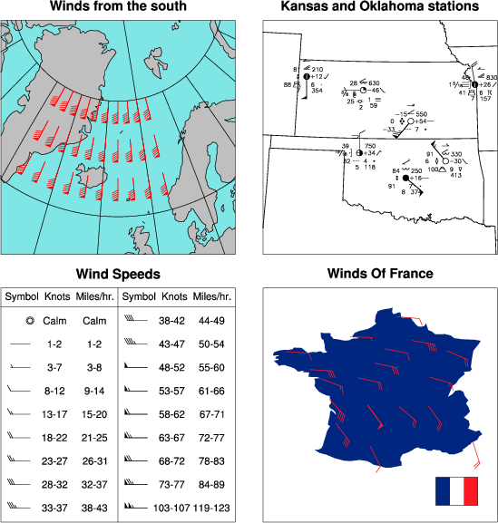
See wmbarbmap.py (and its output) and wmstnm02.py (and its output).